Surveys
LIF LIDAR calibrated on water samples by conventional methods allows you to quickly and with high accuracy examine the upper mixed layer of any water area (it can be of any salinity and trophic status). In addition to concentrations of such key water quality parameters as chlorophyll a, CDOM, and TSS, it is possible to detect organic pollutants (oil and its products, organic fertilizers, sewage, etc.).

GEOGRAPHY OF FIELD WORK
We are both oceanographers and engineers, excited to share the unique expertise that comes from combining these two fields
20+ years of LIF LIDAR practice on 50+ water sites (oceans, seas, lakes...)
Self-designed LIF LiDARs, reliable and widely tested
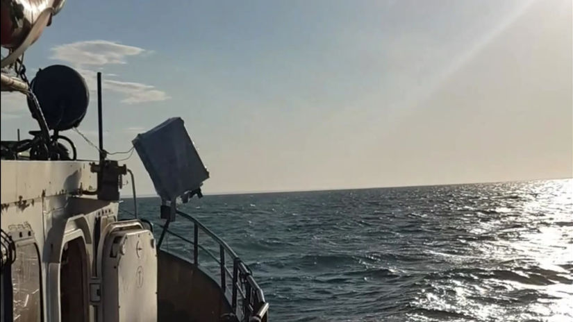
Suitable for any kind of vessel (from small boats to icebreakers)
Comments on the map
- The averaging of LiDAR measurements on the map is set to 2 minutes to improve display performance.
- Clicking on the marker at the center of the track opens a window with the expedition title and date. By selecting More Information, you can view spatial distribution maps for each measured parameter, as well as the LiDAR calibration based on samples collected at the stations (the second image after the map in the slideshow, if calibrations are available).
- To switch between other measured parameters (TSM and CDOM), use the Layers icon in the upper right corner.
- At the bottom of the color scales are the corresponding parameters and their units of measurement. The units of measurement for CDOM are shown directly on the spatial distribution maps due to their variety.
Our Expedition Gallery


